In a nutshell
- Silfra sits in the gap where the North American and Eurasian plates break apart and the land between them subsides.[1]
- Glacial meltwater filters through porous underground lava for 30-100 years, then stays 2°C to 4°C year round.[2]
- Visibility runs over 100 meters, while the deepest sections reach 200 feet (60 meters).[2][3]
- The tour booked here is limited to 6 participants and starts from US$137 per person.[4]
- Snorkellers must be at least 12 years old, at least 150 cm tall and comfortable in water; life jackets are not permitted.[5]
- Top choice Silfra Fissure Snorkeling from US$137 Duration3 - 5.5 hours[4]Rating4.71 from 2,142 reviews[4]Group sizeLimited to 6[4]PickupCheck availability for pickup options[4] Check availability
- Silfra Diving Day Tour from US$283 Duration3 - 5 hours[6]Rating4.60 from 74 reviews[6]Group sizeLimited to 3[6]PickupCheck availability for pickup options[6] See this tour
- Snorkeling with Free Photos from US$215 Duration4.5 hours[7]Rating4.83 from 628 reviews[7]Group sizeLimited to 6[7]PickupPickup included[7] See this tour
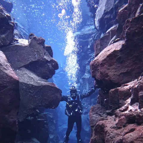
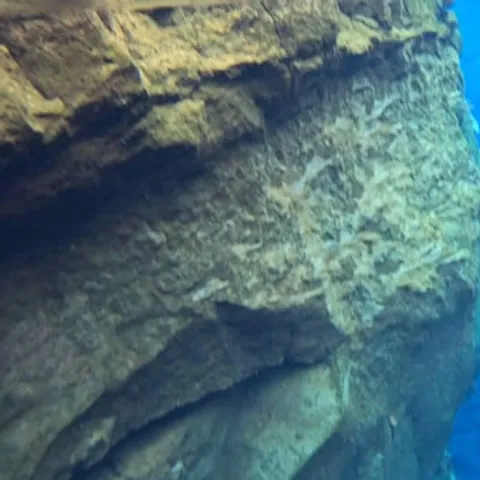
In the south, the plates inch past each other, but at Þingvellir, they break apart and the land between subsides. Away from the plate boundaries the rate is fairly constant, about two centimetres a year, but in the rift zones tension accumulates and is then released in a burst of activity.
Is the Silfra snorkel worth it for the geology?
Before reserving
Where Two Continents Meet in the Arctic
Iceland sits astride the Mid-Atlantic Ridge, and the clearest place to feel that is the shallow valley of Þingvellir, where the North American and Eurasian plates break apart and the land between them subsides.[1] You park on a lava plain, walk down a gravel path between dark walls of rock, and step into a narrow channel of water that runs through the landscape like a crack in a paving stone. On one side is the North American plate. On the other is the Eurasian plate. The valley around you is wide and quiet, with the lake ahead and fault lines running away on both sides. Few places let you drift through the gap itself, and the whole route is short enough to fit into a morning.
The park around the fissure was added to UNESCO's World Heritage List in 2004.[8] Þingvellir National Park receives approximately 1.5 million visitors each year, while a snorkel group in the water below is limited to 6 participants.[4][9] Up on the paths you get the wide view over the lake and the broken lava field; down in the crack you get the plate boundary at eye level, with nobody between you and the rock. Both views are worth having on the same day, and the walk between them takes only a few minutes.
Cold, Clear Water in a Crack in the Lava
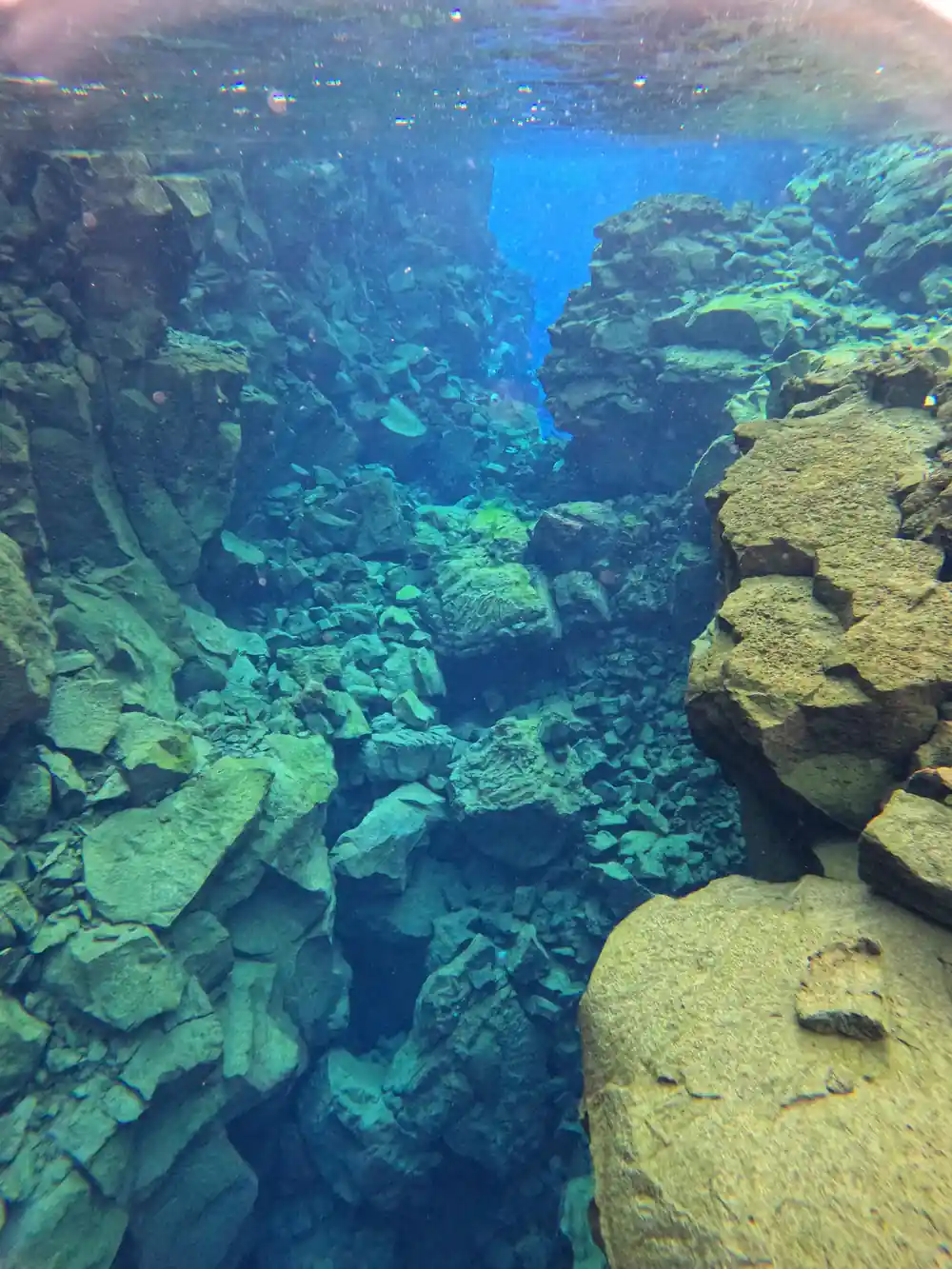
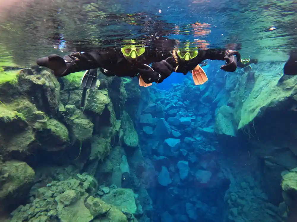
The water in Silfra comes from a glacier, not from the sea. Glacial meltwater filters through porous underground lava for 30-100 years before reaching the spring that feeds into Silfra.[2] By the time it arrives it is extremely pure, and it allows for underwater visibility of over 100 meters.[2] In practice that means you can look down and follow the shape of the canyon for a long way, with the colour shifting from pale green in the shallows to a deeper blue where the walls fall away. Photographs rarely do the clarity justice, and there is almost nothing in the water to blur it.
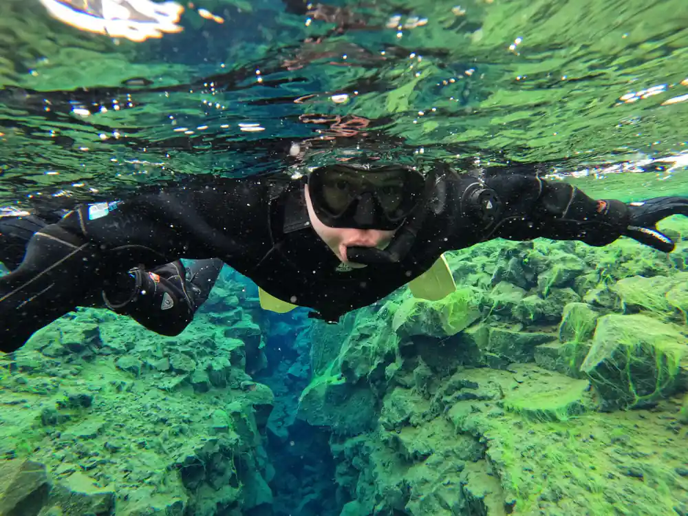
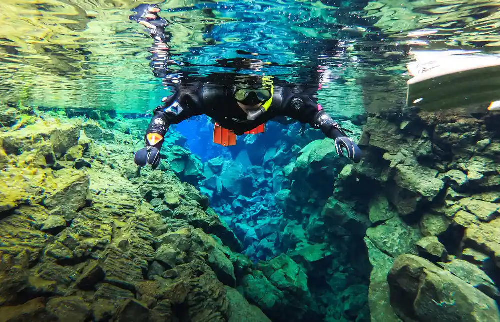
It is also cold. The glacial meltwater stays 2°C to 4°C year round and never freezes, because fresh water is constantly filling the fissure.[2] A drysuit worn over warm base layers is what makes that manageable, and it is worth taking the briefing seriously before you get in. Cold, clear water like this behaves differently from the sea: no tides, no sand stirred up, just the same clean channel running through the rock all year. Your face gets the worst of it, so keep your mask on and your hood sealed.
Life in the fissure is mostly plant. The marine life in Silfra consists mostly of bright green troll hair and different types of algae, which coat the lava in colours that look nothing like the grey surface above.[2] There is no reef and no large fish to spot. The drama is in the rock walls, the light and the space between two continents. Look for the green on the upper faces of the rock, where the light reaches, and for the paler stone in the shadowed slots.
Cold meltwater keeps the fissure clear enough to see across it.
Inside the Fissure: Hall, Cathedral and the Narrow Cracks
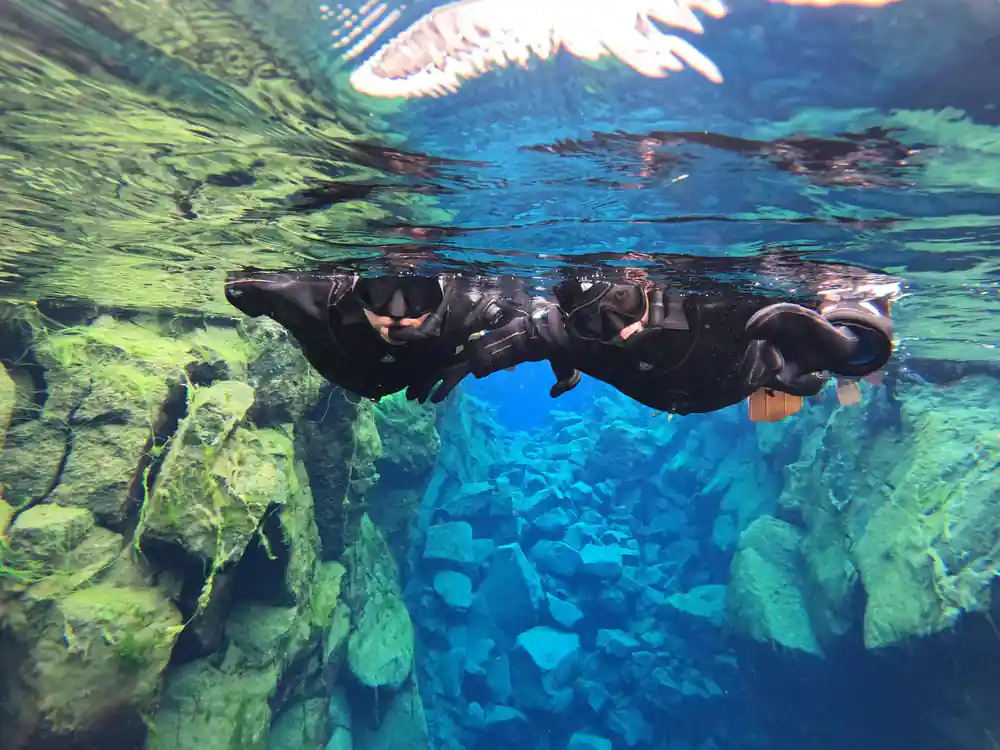
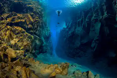
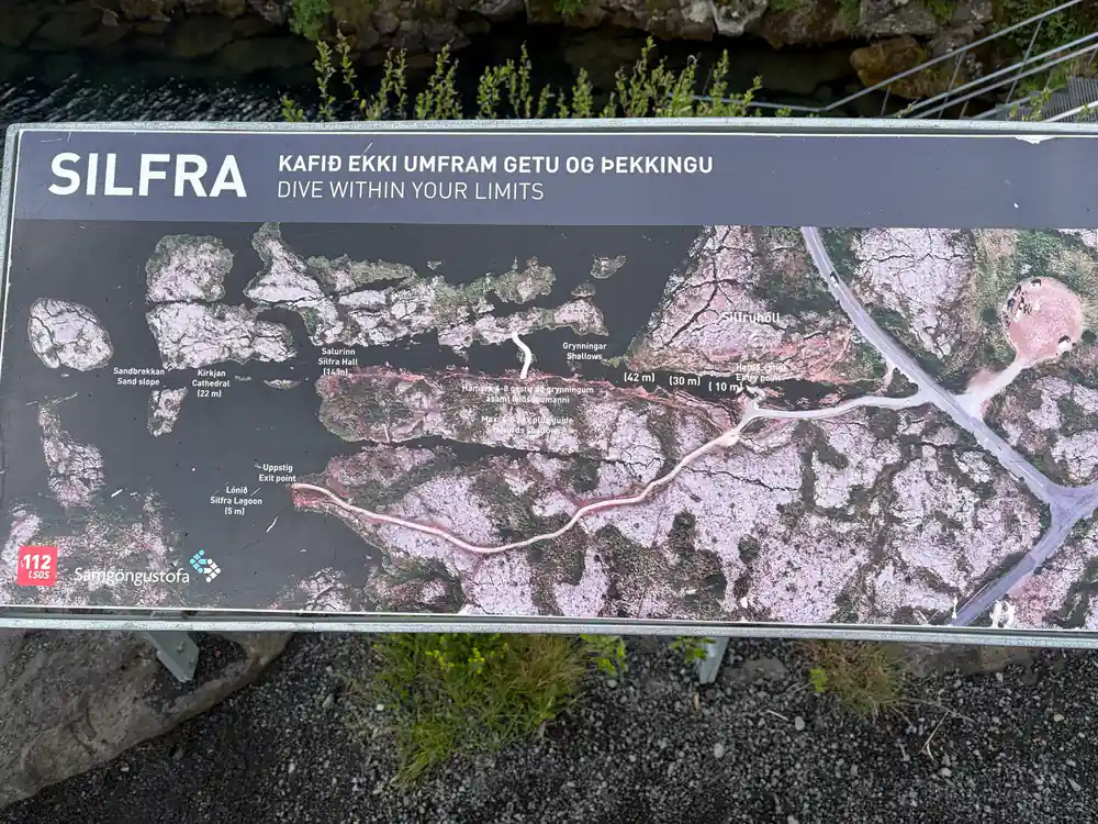
The route through Silfra is not one straight tube. The crack opens into wider chambers and pinches down to slots where the walls come close on both sides, and guides have names for the biggest rooms, including Silfra Hall and Silfra Cathedral. Most of the time you float on the surface with your face in the water, steering with a gentle kick or letting the drift carry you along. It feels closer to flying over a flooded canyon than to swimming laps, and there is plenty of time to look sideways as well as down.
In the wide chambers the walls pull back and the floor drops out of easy view; in the narrow parts the two sides seem close enough to touch. Light moves across the rock as you go, and the shallow sandy stretches near the entry and exit give your eyes a break from the blue. There is no need to dive down or hold your breath for long. You are there to look, and the surface view is the one that shows the shape of the fissure best. Keep your hands in close and let the guide set the pace.
How Deep Does the Silfra Fissure Go?
Silfra reaches depths of up to 200 feet (60 meters) in its deepest sections, though most snorkeling takes place near the surface.[3] Snorkellers stay at the top of the water column, breathing through a regulator and looking down into a crack that keeps opening beneath them. Divers use the same fissure, but they go deeper and follow different rules. From the surface you still get the scale of the place: the walls on either side drop away further than you can follow.
To scuba dive at Silfra, a diver is required to have either a drysuit diver certification or drysuit dive experience.[10] Snorkellers need no certification, only the age, height and swimming requirements set for the site.[5] That split is worth knowing if you are choosing between the two: the snorkel routes are shallow and open to far more people, while the dive routes go looking for the depth this fissure is known for. Either way, the same cold, clear water runs through both.
from US$137
The tour booked here, Reykjavík: Silfra Fissure Snorkeling between Two Continents, is limited to 6 participants.[4]
Silfra from Above: The Þingvellir Setting
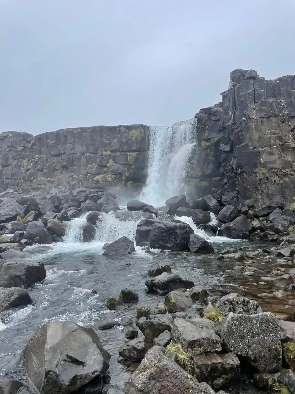
The fissure is one crack in a much larger landscape. Þingvallavatn, also known as Thingvallavatn, covers an area of 84 square kilometres and has a greatest depth of 114 metres.[11] From the paths above Silfra you can see the lake spread out below, the broken lava field around it and the dark lines where water has filled other cracks in the same system. This is a faulted valley floor, not a tidy bowl, and the shapes you notice from above are the same shapes you swim through later.
Thingvellir National Park is 47 km northeast of Reykjavík on Route 36.[12] Drive yourself and the last stretch crosses open country with the lake coming into view; join the tour booked here and pickup is available, with the option to check availability for pickup options.[4] Either way you arrive at a car park above the water, walk down a short path, and the noise of the road disappears almost at once. Give yourself a few minutes at the top before you go down to look at where you are heading.
The Rift Is Still Moving
The plates have not stopped. At Þingvellir, the North American and Eurasian plates break apart and the land between subsides, while away from the plate boundaries the activity is fairly constant at about two centimetres a year; in the rift zones themselves, tensional stress accumulates during a long period and is then released in a burst of activity.[1] The crack you snorkel is part of a system that keeps adjusting, and earthquakes and eruptions in Iceland belong to the same story.
That is what makes Silfra different from a clear lake or a spring. You are not looking at a fossil landscape; you are looking at the join between two plates while it is still in motion, in a valley those plates have been shaping for a very long time. The rock walls, the fallen boulders on the floor and the width of the channel are all part of the same slow argument between the two sides.
Planning Your Snorkel: Gear, Groups and Timing
The tour booked here is Reykjavík: Silfra Fissure Snorkeling between Two Continents, from US$137, with a live guide in English, and it is limited to 6 participants.[4] The listing gives a duration of 3 - 5.5 hours depending on the option you choose, pickup is available, and you can reserve now and pay later.[4] It is rated 4.71 from 2,142 reviews, with 4.8 for the guide, 4.5 for transportation and 4.4 for value for money.[4] Free cancellation applies up to 24 hours in advance for a full refund.[4]
Requirements matter as much as gear here. To snorkel at Silfra, participants must be at least 12 years old, at least 150 cm tall and able to swim and be comfortable in water; life jackets and swimming aids are not permitted.[5] Wear warm base layers and wool socks, and bring a spare pair of socks for afterwards. The walk from the car park to the entry steps is short, and most of the waiting happens before you get in, so a hat and gloves earn their place.
From-prices for Silfra tours
Values are from-prices in US dollars from GetYourGuide listings:[4][6][7][13][14]
What each Silfra option costs
All amounts are US dollar from-prices from these GetYourGuide listings:[4][6][7][13]
When to book a Silfra snorkel
Your Silfra snorkel day
Book your date
Pick a date, then check availability for pickup options and starting times.[4]
Meet the guide
Tours run with a live English-speaking guide and are limited to 6 participants.[4]
Get suited up
You change into your gear at the car park and walk the short path to the entry steps.
Float the fissure
You snorkel at the surface with underwater visibility of over 100 meters on a clear day.[2]
Warm up afterwards
Plan for 3 - 5.5 hours in total, and note the free cancellation window of 24 hours.[4]
Book the Silfra snorkel between two continents
from US$138Reserve now & pay later